13.21. Spatial distribution of the Myanmar soil#
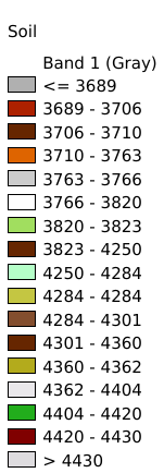
The dataset is available to download in Geotiff format at a resolution of 30 arc-second (approximately 1000m at the equator). It provides information on soil types, soil phases, and soil physico-chemical properties at each grid point (organic Carbon, pH, water storage capacity, soil depth, cation exchange capacity of the soil and the clay fraction, total exchangeable nutrients, lime and gypsum contents, sodium exchange percentage, salinity, textural class and granulometry).Data source: FAO(https://www.fao.org/soils-portal/soil-survey/soil-maps-and-databases/harmonized-world-soil-database-v12/en/).Data format tif, spatial coordinate system WGS 84, mapping time 2025-04-02, cartographer Shen Jinlu.
Legend:#
Information:#
Path : /pb1/gisws/qgis_pub_map/svr_w24/shenjl_rsync/ch80_shenjl/sec16_Myanmar_earthquake/dataset_Spatial_distribution_of_the_Myanmar_soil_tt/pub_Myanmar_soil_distribution.qgz
Layer Name : pub_Myanmar_soil_distribution_qn7958
Layer ID : qn7958
Center : 18.683332, 96.675
Zoom : 5