3.42. Land cover of United Republic of Tanzania#
This land cover data set is derived from the original raster based Globcover global archive. It has been post-processed to generate a vector version at national extent with the LCCS legend (22 classes worldwide) for being analyzed in the GLCN software Advanced Database Gateway (ADG). Coordinate system: WGS 84. Data source: https://data.apps.fao.org/map/catalog/srv/eng/catalog.search#/metadata/900acaf8-69a1-4df6-84ef-8bd71abad46b
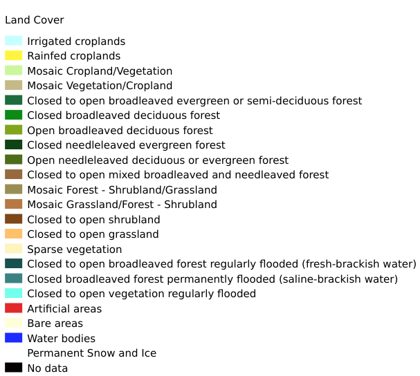
Legend:#
Information:#
Path : /pb1/gisws/qgis_pub_map/svr_w24/shenjl_rsync/ch80_shenjl/sec06_Terrestrid_Surface/Landcover_of_United_Republic_of_Tanzania_Globcover_derived/pub_lc_tnz.qgz
Layer Name : pub_lc_tnz_qn1286
Layer ID : qn1286
Center : -6.368216, 34.885113
Zoom : 5
Powered by GISLite and Sphinx.