3.37. Distribution Map of Grassland in Kenya#
This dataset is a thematic reaggregated version of the original national Africover landcover multipurpose database. It contains all natural vegetation with a herbaceous component..The original full resolution land cover has been produced from visual interpretation of digitally enhanced LANDSAT TM images (Bands 4,3,2) acquired mainly. Coordinate system: WGS 84. Data source: https://data.apps.fao.org/map/catalog/srv/eng/catalog.search#/metadata/5bd0d845-3f8a-4cab-a16e-7a332f475749
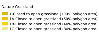
Legend:#
Information:#
Path : /pb1/gisws/qgis_pub_map/svr_w24/shenjl_rsync/ch80_shenjl/sec06_Terrestrid_Surface/Thematic_Grassland_Aggregation_for_Kenya/pub_grass_ke.qgz
Layer Name : pub_grass_ke_qn3614
Layer ID : qn3614
Center : 0.44915462, 37.91281
Zoom : 5
Powered by GISLite and Sphinx.