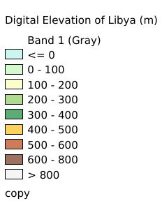
11.8. Digital Elevation of Libya#
This dataset is raster data with a resolution of 5 seconds, recording digital elevations of Libya. The data source is http://www.diva-gis.org/gdata .
Legend:#
Information:#
Path : /pb1/gisws/qgis_pub_map/svr_w24/shenjl_rsync/ch80_shenjl/sec14_Libya_Hurricane/dataset_Digital_Elevation_of_Libya_tt/pub_Libya_Digital_Elevation.qgz
Layer Name : pub_Libya_Digital_Elevation_qn3872
Layer ID : qn3872
Center : -43.13793, 3.6363637
Zoom : 2
Powered by GISLite and Sphinx.