13.20. Spatial distribution of the Myanmar road traffic#
This dataset is road network data from osm, including railways, motorways, gravel roads, cycle paths, footpaths and more.Data source:openstreetmap(https://www.openstreetmap.org) .Data format shapefile, spatial coordinate system WGS 84, mapping time 2025-04-01, cartographer Shen Jinlu.
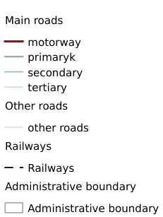
Legend:#
Information:#
Path : /pb1/gisws/qgis_pub_map/svr_w24/shenjl_rsync/ch80_shenjl/sec16_Myanmar_earthquake/dataset_Spatial_distribution_of_the_Myanmar_road_traffic_tt/pub_Myanmar_road_traffic.qgz
Layer Name : pub_Myanmar_road_traffic_qn5081
Layer ID : qn5081
Center : 18.683853, 96.68287
Zoom : 5
Powered by GISLite and Sphinx.