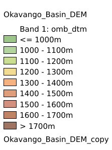
8.5. Okavango Basin DEM#
Digital Terrain Model within the Okavango Basin. Source: Data generated under the GIS EPSMO program (base:SRTM data). This dataset is part of the GIS Database for the Environment Protection and Sustainable Management of the Okavango River Basin project (EPSMO). Coordinate system: WGS 84; Data source (https://data.apps.fao.org/map/catalog/srv/eng/catalog.search#/metadata/6a43d78e-428c-4118-866a-7e637692971e)
Legend:#
Information:#
Path : /pb1/gisws/qgis_pub_map/svr_w24/shenjl_rsync/ch80_shenjl/sec11_Other/Okavango_Basin_DEM/pub_omb_dem.qgz
Layer Name : pub_omb_dem_qn0984
Layer ID : qn0984
Center : -17.500416, 22.500416
Zoom : 5
Powered by GISLite and Sphinx.