2.39. Distribution Map of Agricultural land cover in Eritrea#
This dataset is a thematic reaggregated version of the original national Africover landcover multipurpose database. It contains all cultivated land.The original full resolution land cover has been produced from visual interpretation of digitally enhanced LANDSAT TM images acquired. Coordinate system: WGS 84. Data source: https://data.apps.fao.org/map/catalog/srv/eng/catalog.search#/metadata/382d74c3-55db-4d6e-ac51-f899712302aa
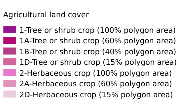
Legend:#
Information:#
Path : /pb1/gisws/qgis_pub_map/svr_w24/shenjl_rsync/ch80_shenjl/sec05_Agriculture/Thematic_Agriculture_Aggregation_for_Eritrea/pub_cult_er.qgz
Layer Name : pub_cult_er_qn6187
Layer ID : qn6187
Center : 15.899364, 38.24488
Zoom : 7
Powered by GISLite and Sphinx.