4.7. Hydrological basins in North America#
This dataset divides the North American continent in major hydrological basins and their sub-basins according to its hydrological characteristics. It was obtained by delineating drainage basin boundaries from hydrologically corrected elevation data (WWF HydroSHEDS and Hydro1K).Coordinate system: WGS 84. Data source: https://data.apps.fao.org/map/catalog/srv/eng/catalog.search#/metadata/b06dc828-3166-461a-a17d-26f4dc9f9819
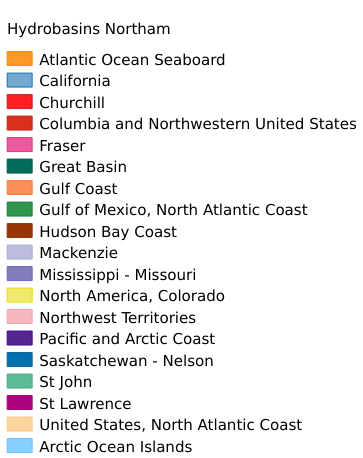
Legend:#
Information:#
Path : /pb1/gisws/qgis_pub_map/svr_w24/shenjl_rsync/ch80_shenjl/sec07_Water_Resources/Hydrobasins_Northam/pub_Hydrobasins_Northam.qgz
Layer Name : pub_Hydrobasins_Northam_qn2501
Layer ID : qn2501
Center : 54.074127, -95.22907
Zoom : 3
Powered by GISLite and Sphinx.