3.11. Distribution Map of Aggregated Multipurpose Landcover in Eritrea#
This dataset is a spatially reaggregated version of the original national Africover multipurpose database. The original full resolution land cover has been produced from visual interpretation of digitally enhanced LANDSAT TM images (Bands 4,3,2) . The data was aggregated by eliminating polygons below a certain area threshold to give priority to the classes belonging to Agriculture. This threshold corresponds to approx. a 30 % reduction in the polygon count. The dataset was then re-aggregated based on area threshold values.The land cover classes have been developed using the FAO/UNEP international standard LCCS classification system. Coordinate system: WGS 84. Data source: https://data.apps.fao.org/map/catalog/srv/eng/catalog.search#/metadata/7d456921-5365-4958-8482-799de81dc8af
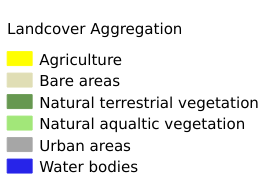
Legend:#
Information:#
Path : /pb1/gisws/qgis_pub_map/svr_w24/shenjl_rsync/ch80_shenjl/sec06_Terrestrid_Surface/Spatially_Aggregated_Multipurpose_Landcover_Database_for_Eritrea/pub_Landcover_Eritrea.qgz
Layer Name : pub_Landcover_Eritrea_qn8103
Layer ID : qn8103
Center : 15.193543, 39.771034
Zoom : 6