11.5. Libyan hurricane landsat8 raw data set#
This dataset was obtained by mosaicing and cropping the raw data of landsat8 from 1 August to 9 September 2023 for the Libyan region. The data format is tiff with 11 bands, namely Coastal aerosol, Blue, Green, Red, Near infrared, Shortwave infrared 1, Shortwave infrared 2, Band 8 Panchromatic, Cirrus, Thermal infrared 1, Thermal infrared 2, with a spatial resolution of 100m.Data sources:https://developers.google.com/earth-engine/datasets/catalog/landsat
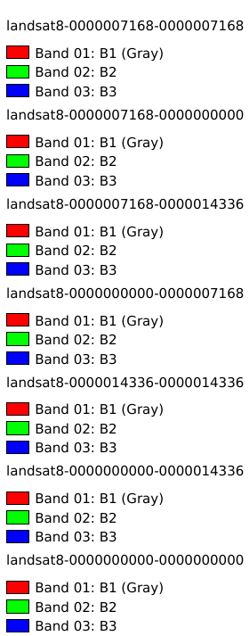
Legend:#

Information:#
Path : /pb1/gisws/qgis_pub_map/svr_w24/shenjl_rsync/ch80_shenjl/sec14_Libya_Hurricane/dataset_Libyan_hurricane_landsat8_raw_data_set_tt/pub_2023_Libya_landsat8.qgz
Layer Name : pub_2023_Libya_landsat8_qn6713
Layer ID : qn6713
Center : 26.336807, 17.270111
Zoom : 5