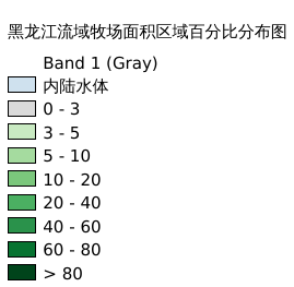
10.59. 黑龙江流域牧场面积区域百分比分布图#
牧场面积区域百分比地图是一个全球光栅数据层,分辨率为5弧分牧场面积区域百分比数据。通剪裁得到黑龙江流域牧场面积区域百分比数据。数据来自粮农组织和IIASA,数据来源(https://data.apps.fao.org/map/catalog/srv/eng/catalog.search#/metadata/913e79a0-7591-11db-b9b2-000d939bc5d8),空间坐标系为WGS 84
Legend:#
Information:#
Path : /pb1/gisws/qgis_pub_map/svr_w24/shenjl_rsync/ch80_shenjl/sec13_Heilongjiang_Valley/Heilongjiang_Valley_pasture/pub_Heilongjiang_Valley_pasture.qgz
Layer Name : pub_Heilongjiang_Valley_pasture_qn7394
Layer ID : qn7394
Center : 48.833332, 124.375
Zoom : 5
Powered by GISLite and Sphinx.