11.4. ESA Libya land cover data for 2021#
The ESA World Cover dataset is a 2021 global 10-meter land cover product with a resolution of 10 meters produced by ESA and a number of scientific institutions around the world, based on Sentinel-1 and Sentinel-2 data. The ESA Libya land cover data for 2021 dataset was clipped on this basis. Data source: https://esa-worldcover.org/en
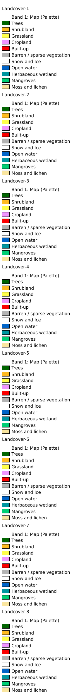
Legend:#
Information:#
Path : /pb1/gisws/qgis_pub_map/svr_w24/shenjl_rsync/ch80_shenjl/sec14_Libya_Hurricane/dataset_ESA_Libya_land_cover_data_for_2021_tt/pub_2021_Libya_landcover.qgz
Layer Name : pub_2021_Libya_landcover_qn5301
Layer ID : qn5301
Center : 26.336807, 17.270111
Zoom : 5
Powered by GISLite and Sphinx.