3.8. Land Suitability Assessment in Tanzania#
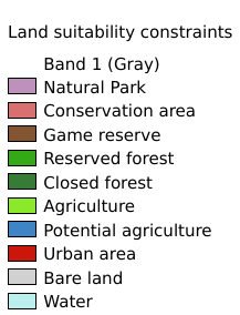
This map identifies areas that in Tanzania could not be available for bioenergy activities due to diverse constraints. In particular it shows the land already under agriculture production, protected or environmentally sensitive areas, urban settlements and bare land that have been excluded from the BEFS land suitability assessment of Tanzania, in order to get a true understanding of which lands are available for bioenergy production in this country. Coordinate system: WGS 84. Data source: https://data.apps.fao.org/map/catalog/srv/eng/catalog.search#/metadata/ea7c081a-a004-4191-957f-a44ce142dde3
Legend:#
Information:#
Path : /pb1/gisws/qgis_pub_map/svr_w24/shenjl_rsync/ch80_shenjl/sec06_Terrestrid_Surface/Environmental_and_landuse_constraints_for_bioenergy_purpose_in_Tanzania/pub_ENVandlanduse_constraints_Tanzania.qgz
Layer Name : pub_ENVandlanduse_constraints_Tanzania_qn4768
Layer ID : qn4768
Center : -6.3623624, 34.889668
Zoom : 5