3.70. Population distribution map of the China Pakistan Economic Corridor region in 2019#
This data set covers the population data of the China-Pakistan Economic Corridor (CPEC) from 2001 to 2020, and the current period covers the population data of the CPEC from 2019. By integrating representative Wordpop and other data resources, the population distribution data of Pakistan from 2000 to 2020 with 100-meter resolution is compiled. The data format is TIFF, the spatial resolution is 100m, and the spatial coordinate system is WGS 84.
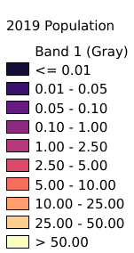
Legend:#
Information:#
Path : /pb1/gisws/qgis_pub_map/svr_w24/local/ch83_cpjrc/sec03_biosphere/2001_2020_CPEC_population/pub_2019_CPEC_population.qgz
Layer Name : pub_2019_CPEC_population_qn5704
Layer ID : qn5704
Center : 30.805416, 70.892914
Zoom : 5
Powered by GISLite and Sphinx.