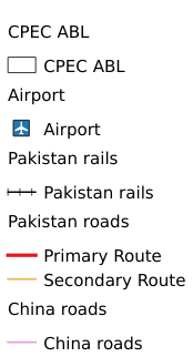
2.11. Traffic Distribution Map of China Pakistan Economic Corridor#
The Pakistan's traffic network dataset is made by using the water distribution data downloaded from DIVA-GIS official website. With the help of ArcGIS software, it can be sorted, cut and synthesized. The data set includes elements such as civil airports, railways and first-class roads.
Legend:#
Information:#
Path : /pb1/gisws/qgis_pub_map/svr_w24/local/ch83_cpjrc/sec02_cpjrc/zhongba/pub11_cp_traffic.qgz
Layer Name : pub_traffic_qn0169
Layer ID : qn0169
Center : 30.805399, 68.731636
Zoom : 5
Powered by GISLite and Sphinx.