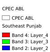
2.127. Southeast Punjab#
Punjab Southeast Splicing Data.The spatial coordinate system is WGS 84.
Legend:#

Information:#
Path : /pb1/gisws/qgis_pub_map/svr_w24/local/ch83_cpjrc/sec02_cpjrc/pub_gf_202206panjad.qgz
Layer Name : pub_gf_202206panjad_qn0375
Layer ID : qn0375
Center : 30.805399, 68.731636
Zoom : 5
Powered by GISLite and Sphinx.