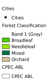
2.8. Forest Classification Map of the China Pakistan Economic Corridor#
The data source is ESA land cover data on the GEE platform. The data were obtained after filtering the forest type land. Its spatial resolution is 10m.
Legend:#
Information:#
Path : /pb1/gisws/qgis_pub_map/svr_w24/local/ch83_cpjrc/sec02_cpjrc/zhongba/pub08_cp_forest.qgz
Layer Name : pub_forest_qn1793
Layer ID : qn1793
Center : 30.540731, 72.456314
Zoom : 5
Powered by GISLite and Sphinx.