3.47. Land Use Distribution Map of the China Pakistan Economic Corridor in 2005#
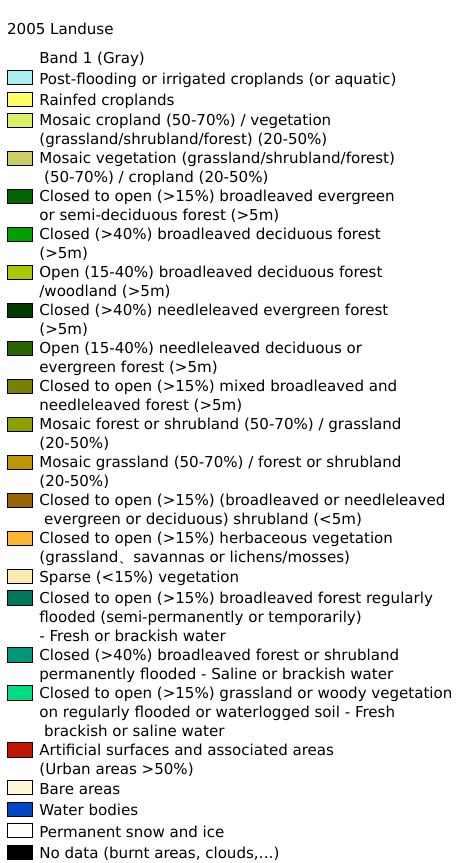
The data source for the land use spatial distribution in the China-Pakistan Economic Corridor (CPEC) in 2005 and 2009 is the European Space Agency (ESA) GlobCover, which can be found at http://due.esrin.esa.int/page_globcover.php. The spatial resolution is 300 meters, and the spatial coordinate system is WGS 84.
Legend:#
Information:#
Path : /pb1/gisws/qgis_pub_map/svr_w24/local/ch83_cpjrc/sec03_biosphere/2001_2020_CPEC_Landuse/pub_2005_2009_CPEC_landuse.qgz
Layer Name : pub_2005_CPEC_landuse_qn8792
Layer ID : qn8792
Center : 30.805029, 68.73206
Zoom : 5
Powered by GISLite and Sphinx.