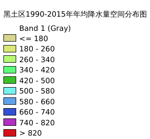
10.8. 黑土区1990-2015年年均降水量空间分布图#
黑土区1990-2015年年均降水量空间分布情况; 空间分辨率:1000m; 坐标系统: Projected Coordinate System:Krasovsky_1940_Albers 、Geographic Coordinate System:GCS_Krasovsky_1940
Legend:#
Information:#
Path : /pb1/gisws/qgis_pub_map/svr_w24/shenjl_rsync/ch04_heitu/sec09_other/pub_ht_precipitation.qgz
Layer Name : pub_precipitation_mn1041_qn4709
Layer ID : qn4709
Center : 46.45831, 125.687904
Zoom : 5
Powered by GISLite and Sphinx.