9.17. 黑土区2019年种植结构空间分布图#
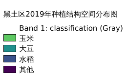
黑土区2019年种植结构空间分布情况,包含玉米、大豆、水稻及其他;空间分辨率:500m;坐标系统:WGS_1984_UTM_zone_53N
Legend:#
Information:#
Path : /pb1/gisws/qgis_pub_map/svr_w24/shenjl_rsync/ch04_heitu/sec08_agriclture/pub_ht_plantingst.qgz
Layer Name : pub_db_2019_qn0712
Layer ID : qn0712
Center : 46.21073, 123.90675
Zoom : 5
Powered by GISLite and Sphinx.