10.5. 黑土区30m数字高程模型(DEM)#
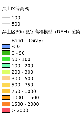
黑土区30m数字高程模型(DEM),包括等高线、地形高低颜色渲染空间分布情况
Legend:#
Information:#
Path : /pb1/gisws/qgis_pub_map/svr_w24/shenjl_rsync/ch04_heitu/sec09_other/heitu_DEM_30m/pub_ht_30mDEM.qgz
Layer Name : pub_30mDEM_mn0004_qn6395
Layer ID : qn6395
Center : 44.759007, 128.89273
Zoom : 4
Powered by GISLite and Sphinx.