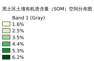
6.10. 黑土区土壤有机质含量(SOM)空间分布图#
黑土区土壤有机质含量空间分布情况 空间分辨率:300m 坐标系统:WGS_1984_UTM_zone_53N
Legend:#
Information:#
Path : /pb1/gisws/qgis_pub_map/svr_w24/shenjl_rsync/ch04_heitu/sec05_soil/pub_ht_som.qgz
Layer Name : pub_som_RF_mask_mn1060_qn5374
Layer ID : qn5374
Center : 46.20987, 123.90829
Zoom : 5
Powered by GISLite and Sphinx.