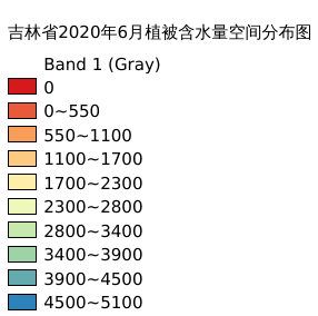
4.10. 吉林省2020年6月植被含水量空间分布图#
黑土区吉林省2020年6月植被含水量空间分布情况
Legend:#
Information:#
Path : /pb1/gisws/qgis_pub_map/svr_w24/shenjl_rsync/bgs88_a5_out/ch03_jilin/sec04_sjl_04/pub_jl_vegetationwater.qgz
Layer Name : pub_jl_vegetationwater_6month_qn3702
Layer ID : qn3702
Center : 43.32927, 126.30035
Zoom : 6
Powered by GISLite and Sphinx.