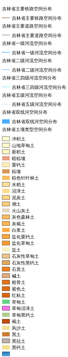
3.3. 吉林省土壤类型空间分布图#
包含黑土区吉林省主要道路、主要铁路、一级河流、二级河流、三四级河流、五级河流、双线河、土壤类型空间分布情况
Legend:#
Information:#
Path : /pb1/gisws/qgis_pub_map/svr_w24/shenjl_rsync/bgs88_a5_out/ch03_jilin/sec03_sjl_03/pub_jl_soil.qgz
Layer Name : pub_jl_soil_qn8675
Layer ID : qn8675
Center : 43.28798, 126.84087
Zoom : 6
Powered by GISLite and Sphinx.