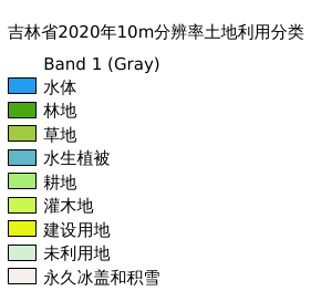
2.51. 吉林省2020年10m分辨率土地利用分类#
吉林省2020年10m分辨率土地利用分类
Legend:#
Information:#
Path : /pb1/gisws/qgis_pub_map/svr_w24/shenjl_rsync/bgs88_a5_out/ws_jl/ch03_jilin/sec02_lwj_gendizhiliang/pub_jl_landuse10m_2020_dn0006.qgz
Layer Name : pub_2020_dn0006_qn0376
Layer ID : qn0376
Center : 43.32927, 126.29953
Zoom : 6
Powered by GISLite and Sphinx.