4.48. Eurasia land area with soil constraints#
The FGGD soil constraints map is a global raster datalayer with a resolution of 5 arc-minutes. Each pixel contains a class value for the degree to which soil characteristics constrain agricultural production potential in the pixel area. The data are from FAO and IIASA, 2000, Global agro-ecological zones, as reported in FAO and IIASA, 2007, Mapping biophysical factors that influence agricultural production and rural vulnerability, by H. von Velthuizen et al. Obtain data from the Eurasian continent through cropping. Coordinate system: WGS 84. Data source:https://data.apps.fao.org/map/catalog/srv/eng/catalog.search#/metadata/f5b746d0-853d-11db-b9b2-000d939bc5d8
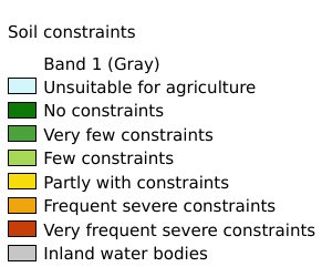
Legend:#
Information:#
Path : /pb1/gisws/qgis_pub_map/svr_w24/local/ch84_Eurasia/sec03_Ecological_Environment/Eurasia_constraints_soil/pub_Eurasia_constraints_soil.qgz
Layer Name : pub_Eurasia_constraints_soil_qn1834
Layer ID : qn1834
Center : 35.458332, 0.0
Zoom : 2