创建最小成本路径
创建最小成本路径
 import gdal, osr
from skimage.graph import route_through_array
import numpy as np


def raster2array(rasterfn):
    raster = gdal.Open(rasterfn)
    band = raster.GetRasterBand(1)
    array = band.ReadAsArray()
    return array

def coord2pixelOffset(rasterfn,x,y):
    raster = gdal.Open(rasterfn)
    geotransform = raster.GetGeoTransform()
    originX = geotransform[0]
    originY = geotransform[3]
    pixelWidth = geotransform[1]
    pixelHeight = geotransform[5]
    xOffset = int((x - originX)/pixelWidth)
    yOffset = int((y - originY)/pixelHeight)
    return xOffset,yOffset

def createPath(CostSurfacefn,costSurfaceArray,startCoord,stopCoord):

    # coordinates to array index
    startCoordX = startCoord[0]
    startCoordY = startCoord[1]
    startIndexX,startIndexY = coord2pixelOffset(CostSurfacefn,startCoordX,startCoordY)

    stopCoordX = stopCoord[0]
    stopCoordY = stopCoord[1]
    stopIndexX,stopIndexY = coord2pixelOffset(CostSurfacefn,stopCoordX,stopCoordY)

    # create path
    indices, weight = route_through_array(costSurfaceArray, (startIndexY,startIndexX), (stopIndexY,stopIndexX),geometric=True,fully_connected=True)
    indices = np.array(indices).T
    path = np.zeros_like(costSurfaceArray)
    path[indices[0], indices[1]] = 1
    return path

def array2raster(newRasterfn,rasterfn,array):
    raster = gdal.Open(rasterfn)
    geotransform = raster.GetGeoTransform()
    originX = geotransform[0]
    originY = geotransform[3]
    pixelWidth = geotransform[1]
    pixelHeight = geotransform[5]
    cols = array.shape[1]
    rows = array.shape[0]

    driver = gdal.GetDriverByName('GTiff')
    outRaster = driver.Create(newRasterfn, cols, rows, 1, gdal.GDT_Byte)
    outRaster.SetGeoTransform((originX, pixelWidth, 0, originY, 0, pixelHeight))
    outband = outRaster.GetRasterBand(1)
    outband.WriteArray(array)
    outRasterSRS = osr.SpatialReference()
    outRasterSRS.ImportFromWkt(raster.GetProjectionRef())
    outRaster.SetProjection(outRasterSRS.ExportToWkt())
    outband.FlushCache()

def main(CostSurfacefn,outputPathfn,startCoord,stopCoord):

    costSurfaceArray = raster2array(CostSurfacefn) # creates array from cost surface raster

    pathArray = createPath(CostSurfacefn,costSurfaceArray,startCoord,stopCoord) # creates path array

    array2raster(outputPathfn,CostSurfacefn,pathArray) # converts path array to raster


if __name__ == "__main__":
    CostSurfacefn = 'CostSurface.tif'
    startCoord = (345387.871,1267855.277)
    stopCoord = (345479.425,1267799.626)
    outputPathfn = 'Path.tif'
    main(CostSurfacefn,outputPathfn,startCoord,stopCoord)
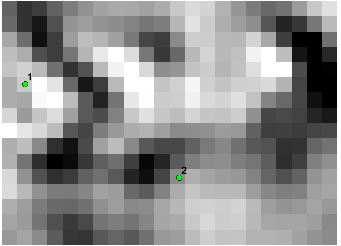
说明:
此方法创建一个最小成本路径之间的基础上的栅格成本面坐标。在下面的例子中,一个成本路径点1点和2点之间创建的基础上的斜坡光栅。
相关信息

关注公众号
获取免费资源