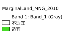
4.3. 蒙古国宜能边际土地资源分布#
该数据为蒙古国宜能边际土地资源分布,包含蒙古国基础地理数据。坐标系为:WGS84
Legend:#
Information:#
Path : /pb1/gisws/qgis_pub_map/svr_w24/shenjl_rsync/wangqy/ch90_wangqy/sec04_Selenga_River_project_data/pub_Mongolia_Yineng_Marginal_land_resource/pub_MarginalLand_Mongolia_2010.qgz
Layer Name : pub_MarginalLand_Mongolia_2010_qn1068
Layer ID : qn1068
Center : 46.85944, 103.83331
Zoom : 5
Powered by GISLite and Sphinx.