OSGeoLive
OSGeoLive
An Open Source Geospatial GNU/Linux Distribution
Press ESC to zoom out, SPACE / arrow keys to navigate, s for slide notes. Note: Pop-ups are blocked in some browsers due to security settings. Try Firefox or Safari.
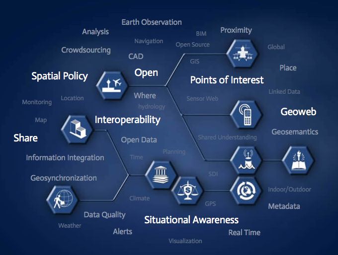
What is OSGeoLive?
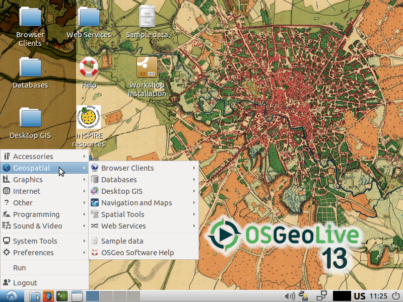
Components on OSGeoLive
- 50+ Open Source Geospatial Applications.
- Sample Datasets.
- Consistent Overviews & Quickstarts.
- Translations.
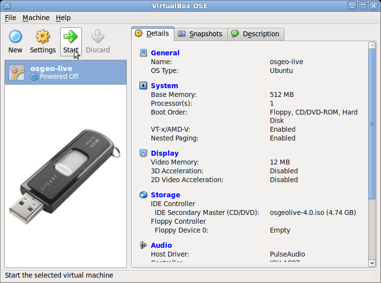
DVD / USB / Virtual Machine
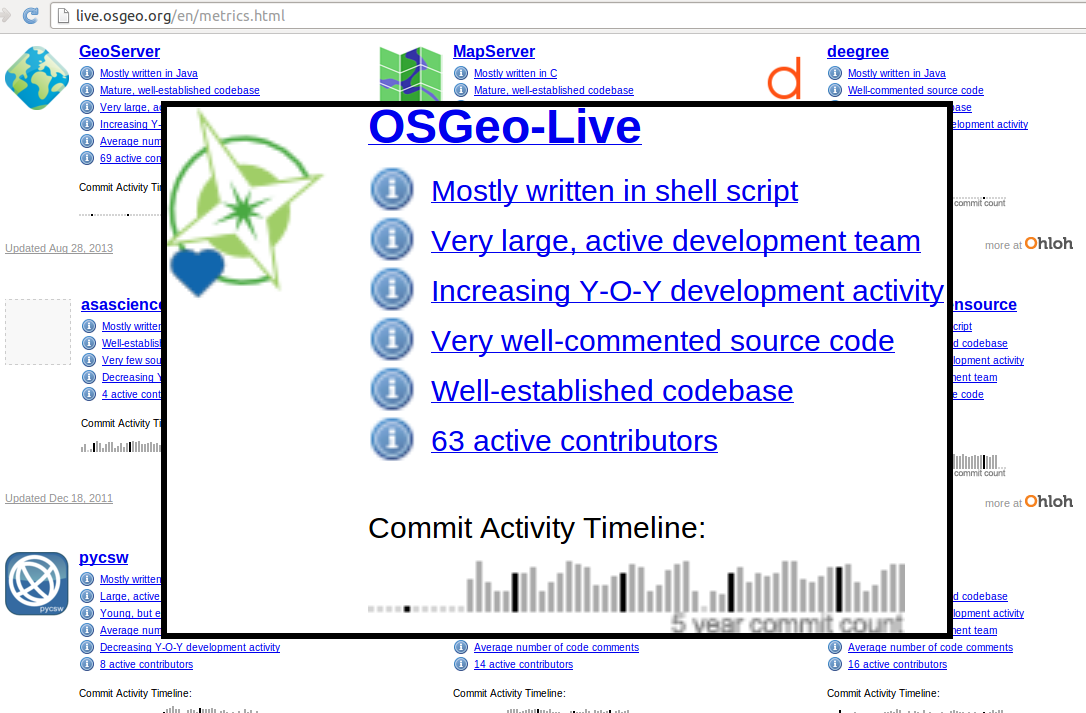
Quality Criteria
- Established, stable, working software
- Active community
- Metrics
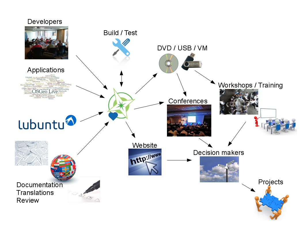
Production & Marketing Pipeline
What is new in 13.0
- Updated to Lubuntu 18.04.3 LTS
- Updated core packages based on DebianGIS
- QGIS 3.4.10, GDAL 2.4.2, PROJ 5.2.0, PostGIS 2.5.2, GRASS 7.6.1, GeoServer 2.15.1, MapServer 7.4.1 and many more...
- New projects added: GeoExt 3.1, Actinia 0.2.1, MapCache 1.8.0
- Major documentation updates
- OSM data for Bucharest
- Updated (geo)datascience packages and included many new Jupyter notebooks.
- Updated packages contributed back to UbuntuGIS
- Full changelog
Open Source Geospatial Foundation (OSGeo)

OSGeo
Non Profit for geospatial community, fostering:
- Free and Open Source Software
- Open Standards
- Open Education
- Open Research
- Open Data
An Open Source Geospatial GNU/Linux Distribution

OGC Standards
- Interoperability
- Future Proof
- Return on Investment
Desktop GIS
QGIS GRASS GIS gvSIG Desktop uDig OpenJUMP GIS SAGA
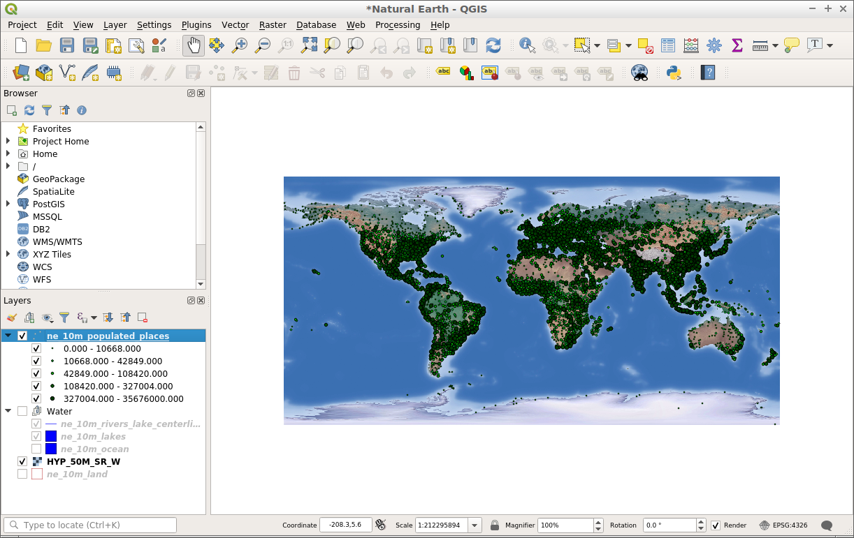
QGIS
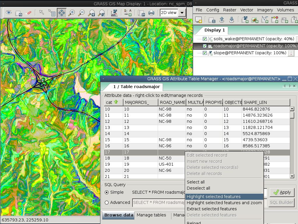
GRASS GIS
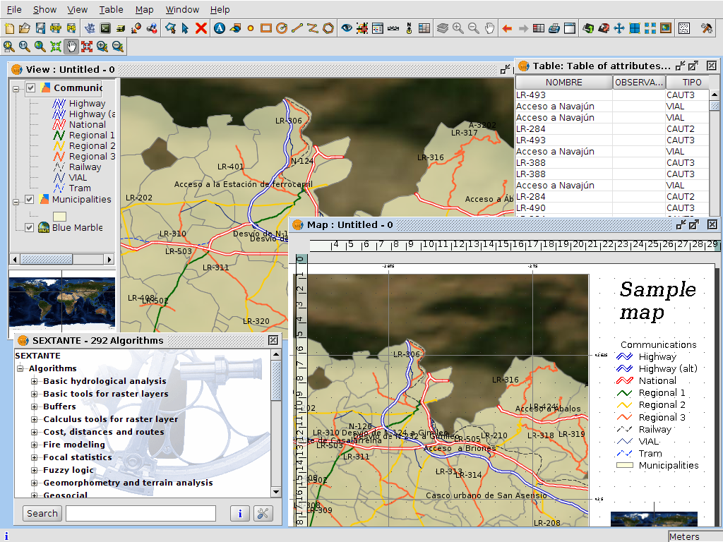
gvSIG Desktop
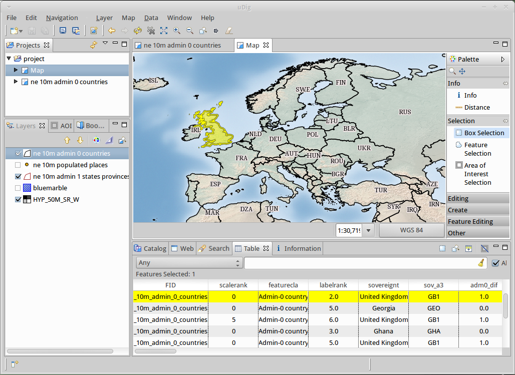
uDig
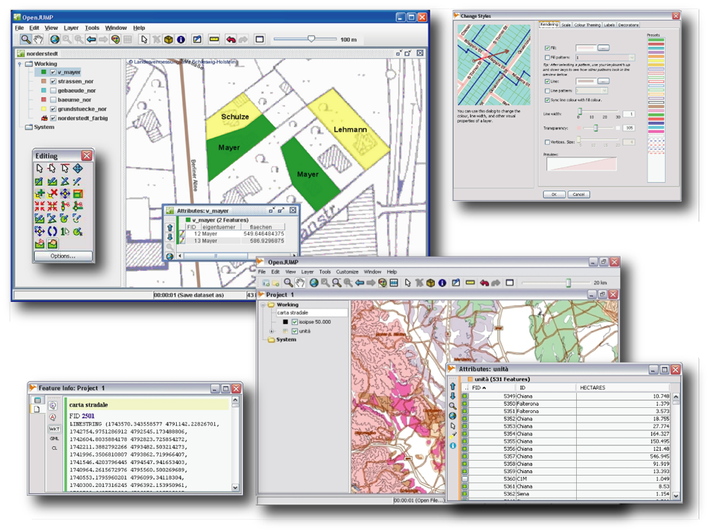
OpenJUMP GIS
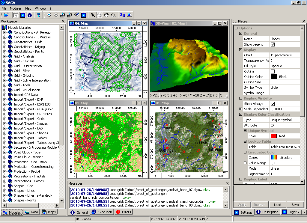
SAGA
Browser Facing GIS
OpenLayers Leaflet Cesium Geomajas Mapbender GeoExt GeoMoose GeoNode GeoStyler
OpenLayers
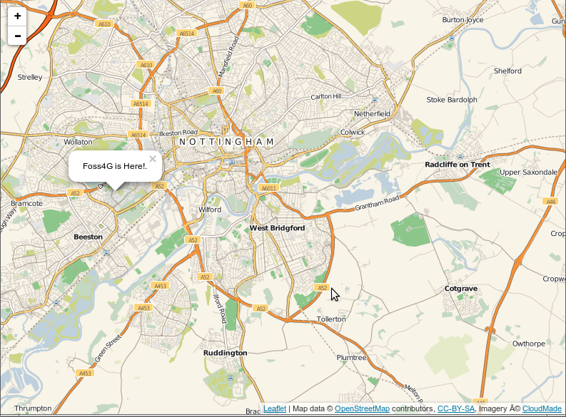
Leaflet
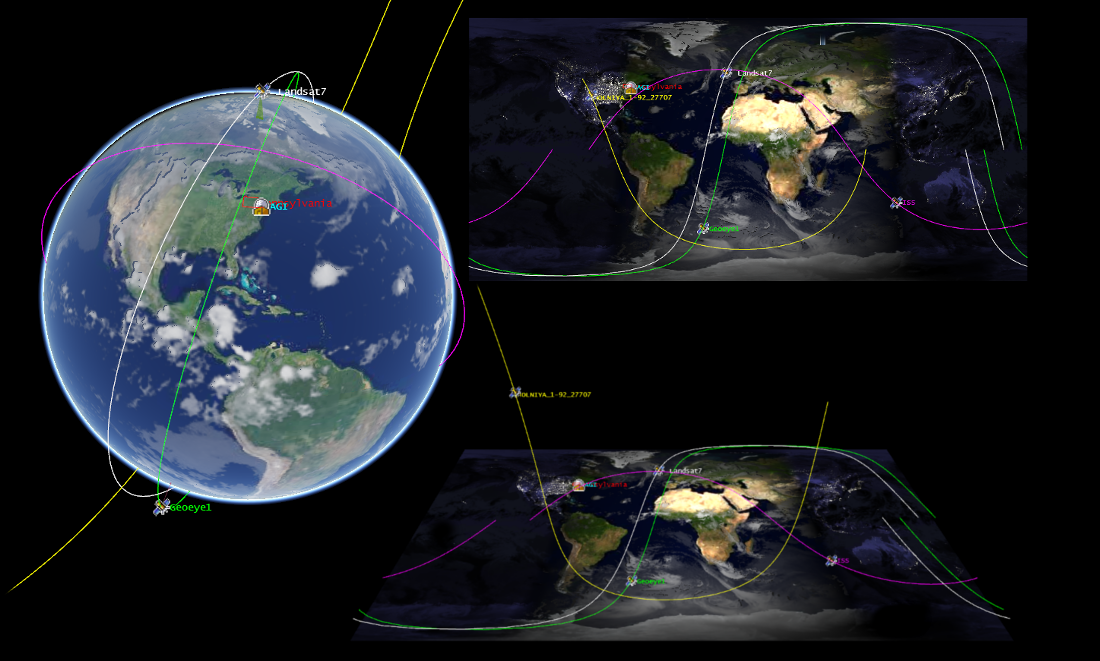
Cesium
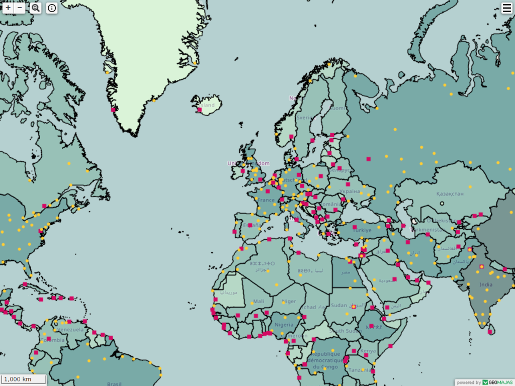
Geomajas
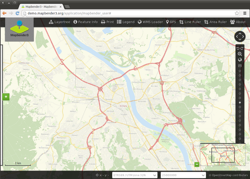
Mapbender
GeoExt
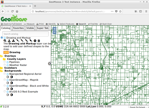
GeoMoose
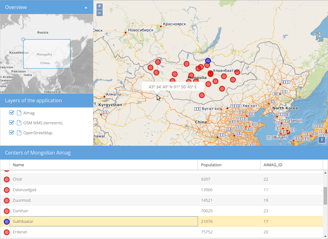
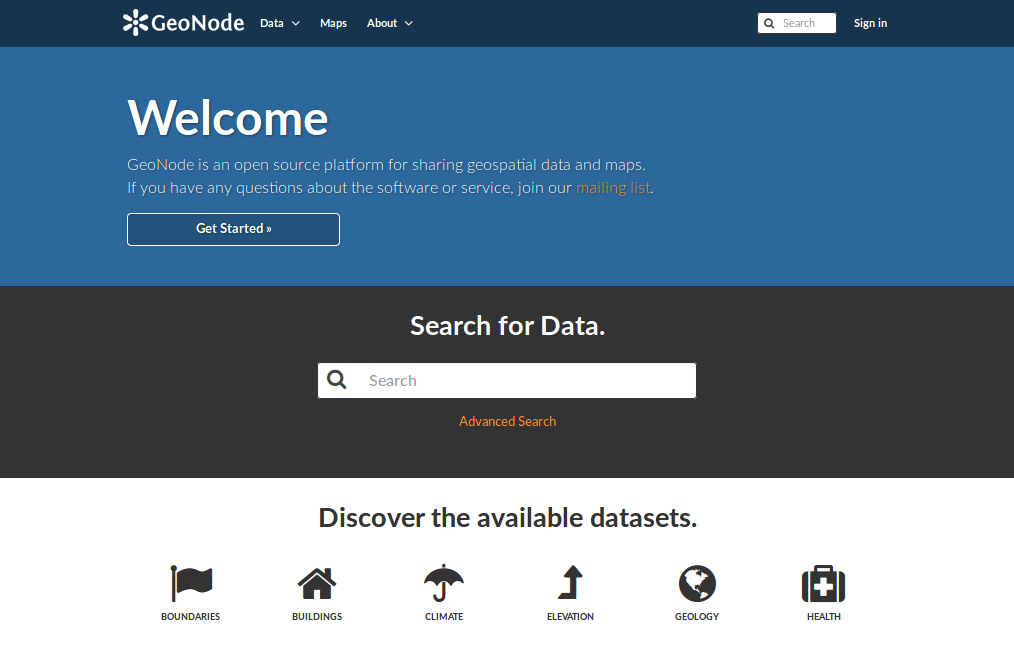
GeoNode
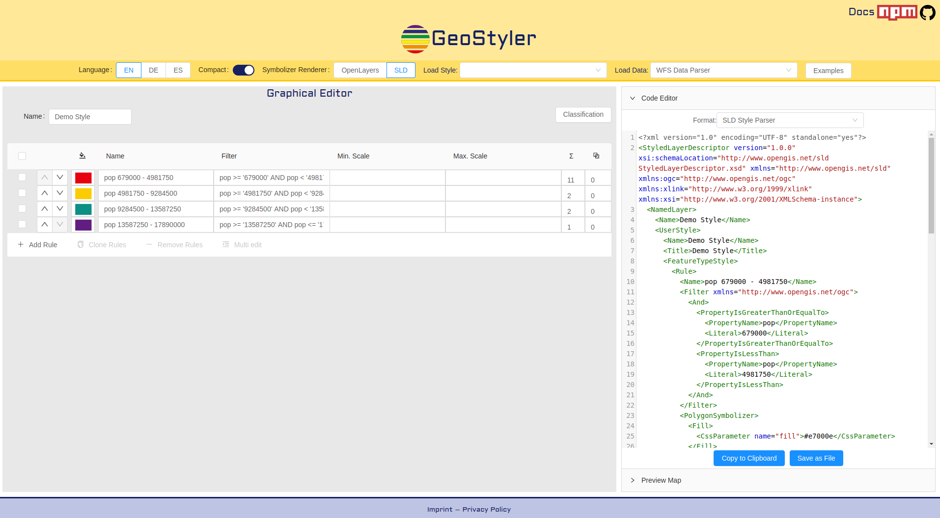
GeoStyler
Web Services
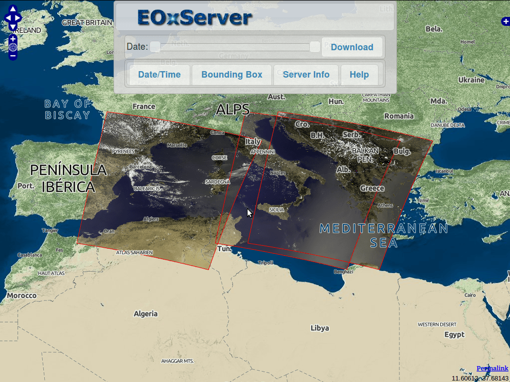
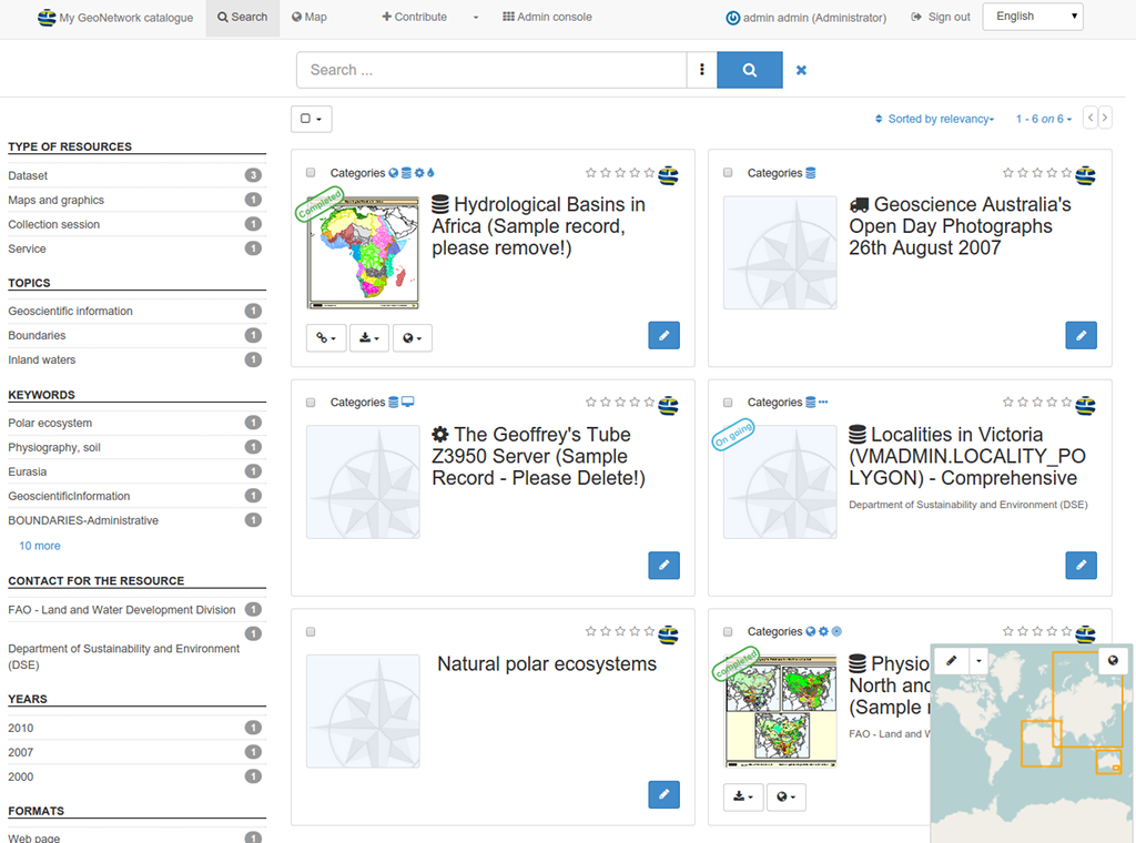
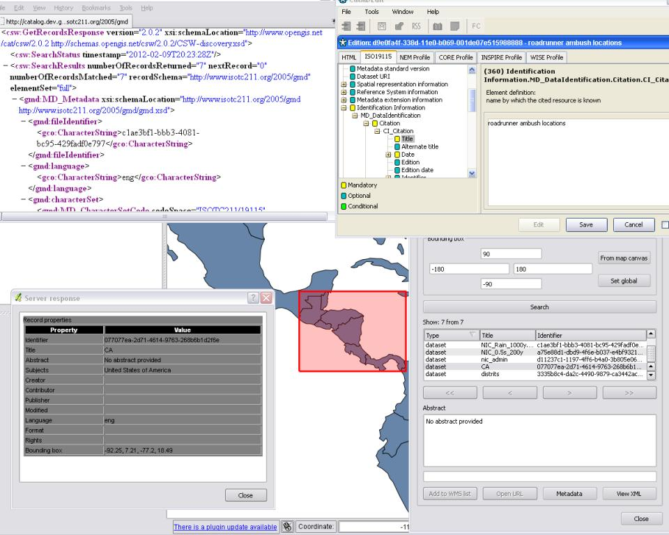
GeoServer MapServer MapCache deegree ncWMS EOxServer GeoNetwork pycsw PyWPS MapProxy QGIS Server istSOS 52 North SOS 52 North WPS Zoo Project t-rex Actinia Re3gistry pygeoapi
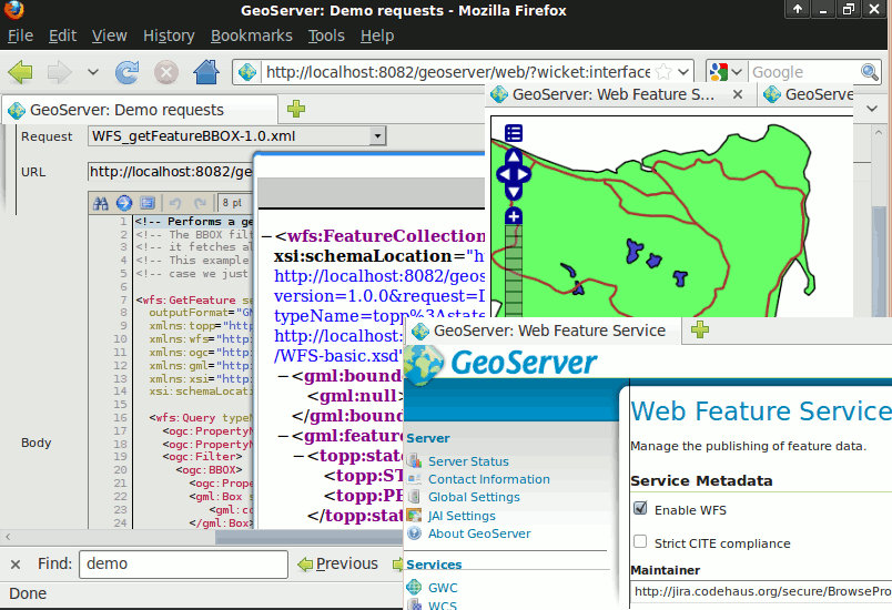
GeoServer
MapServer
MapCache
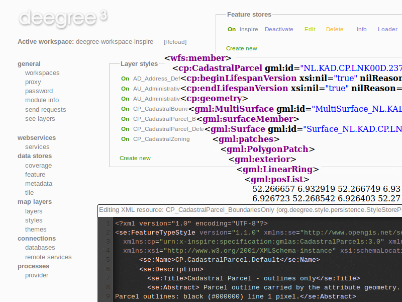
deegree
ncWMS
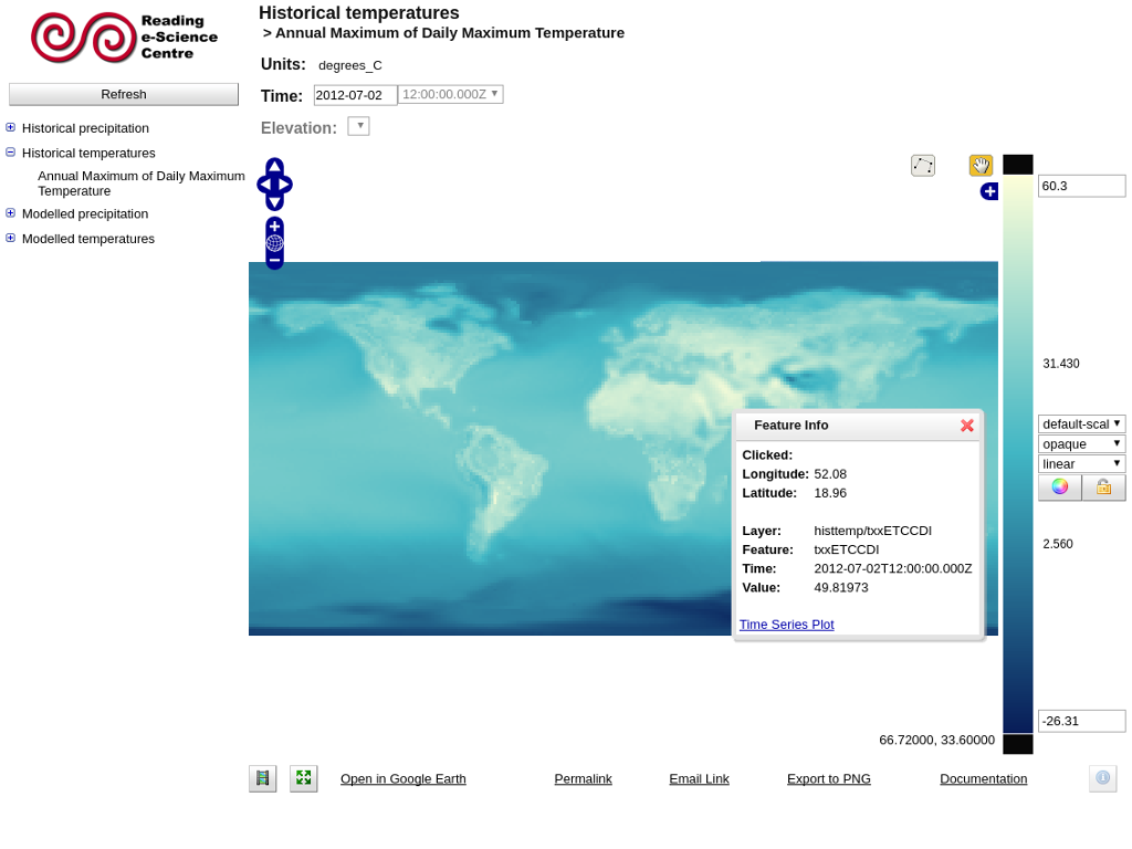
EOxServer
GeoNetwork
pycsw
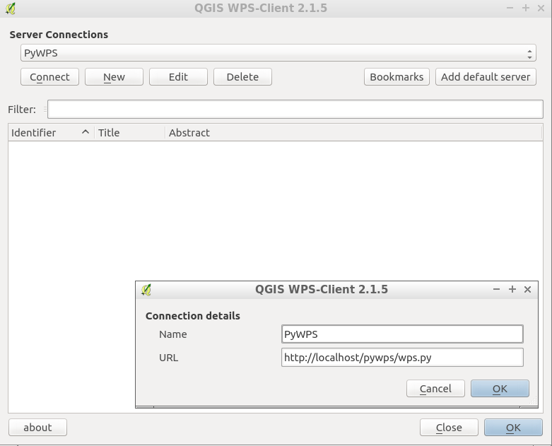
PyWPS
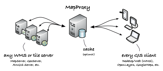
MapProxy
QGIS Server

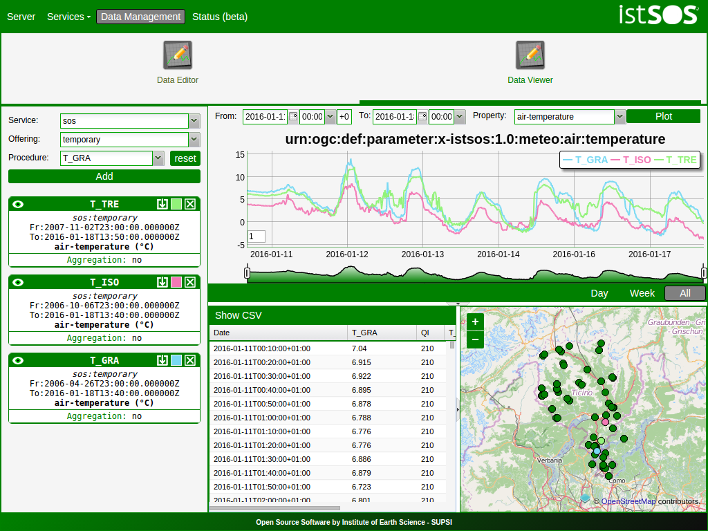
istSOS
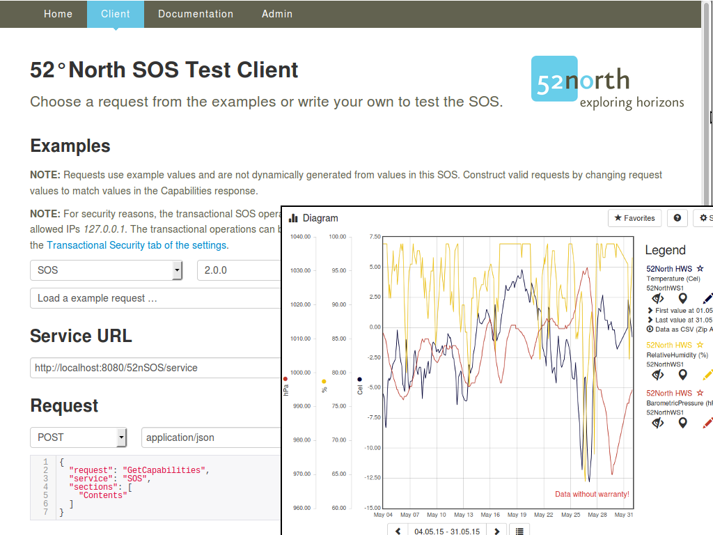
52 North SOS
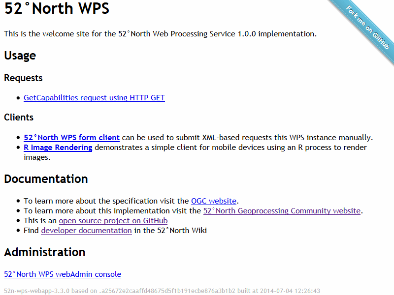
52 North WPS
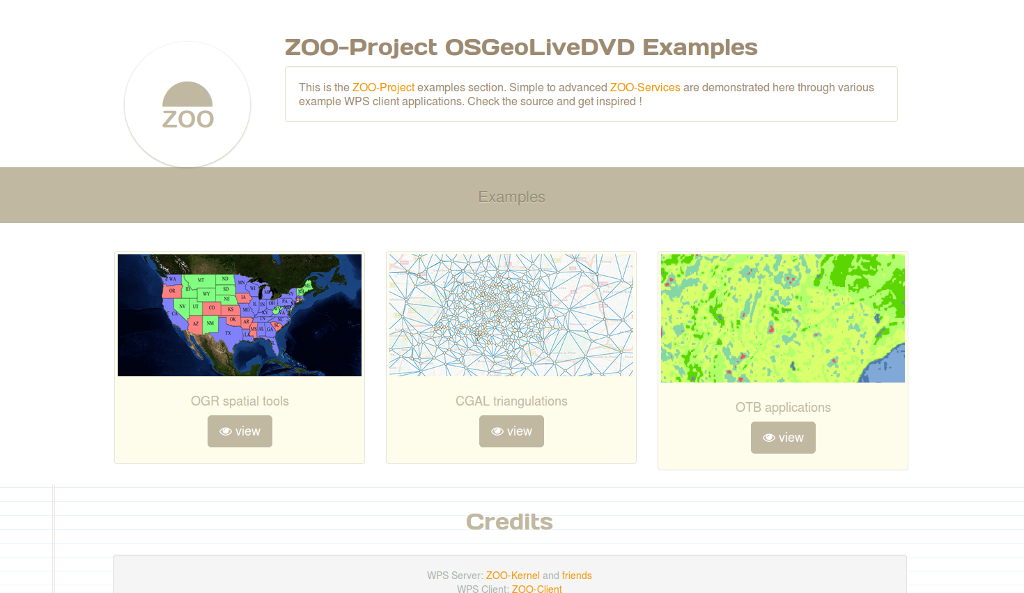
Zoo Project
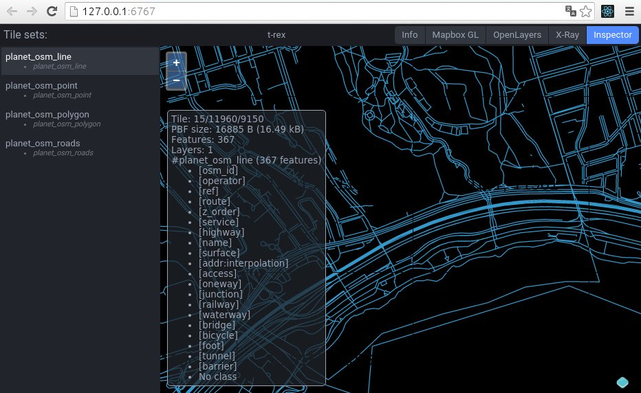
t-rex
Actinia
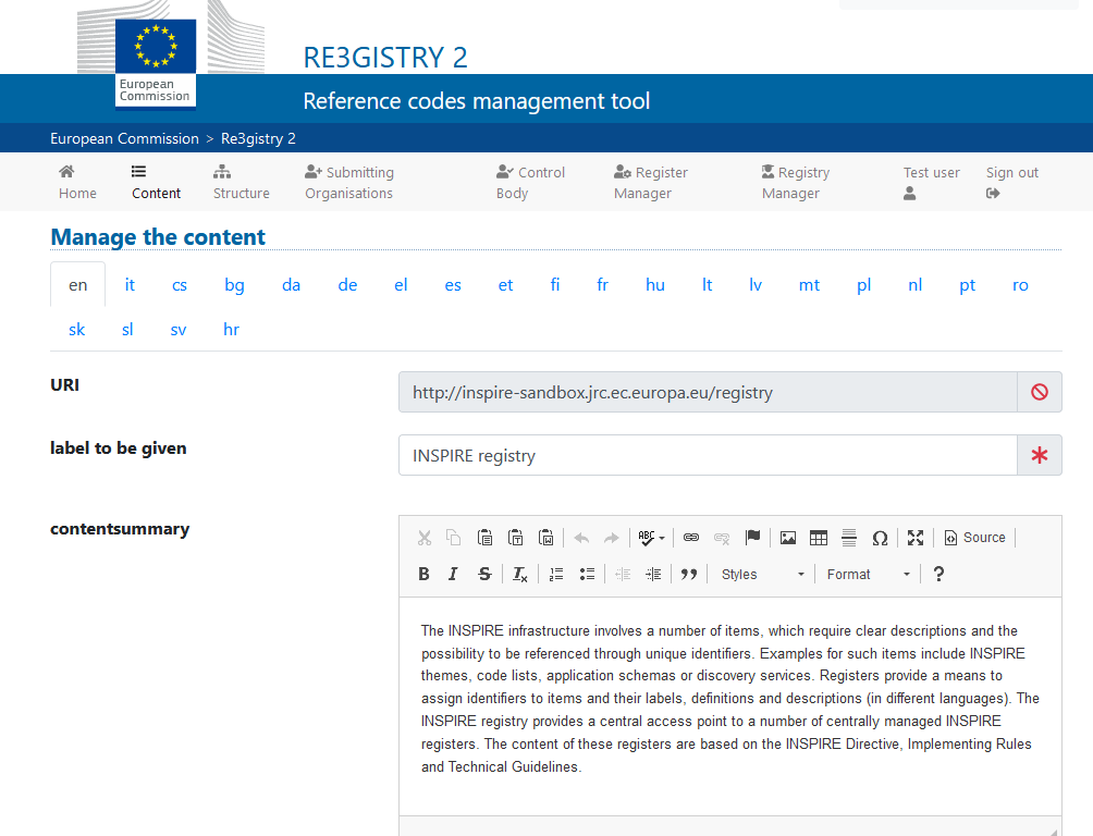
Re3gistry
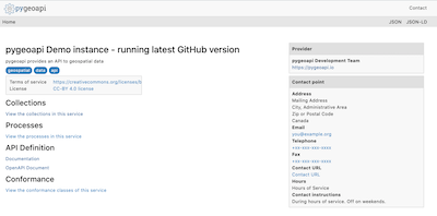
pygeoapi
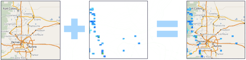
Data Stores
PostGIS SpatiaLite Rasdaman pgRouting
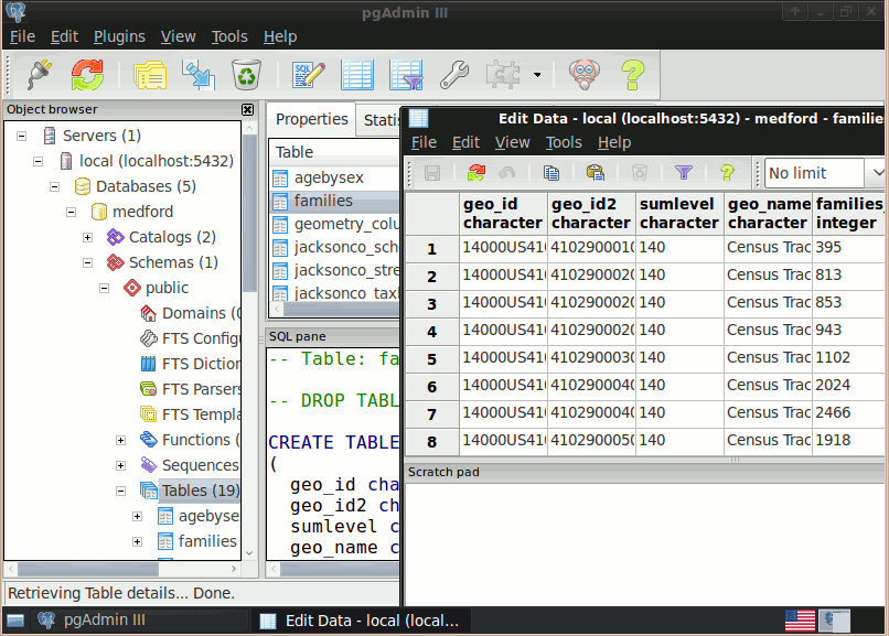
PostGIS
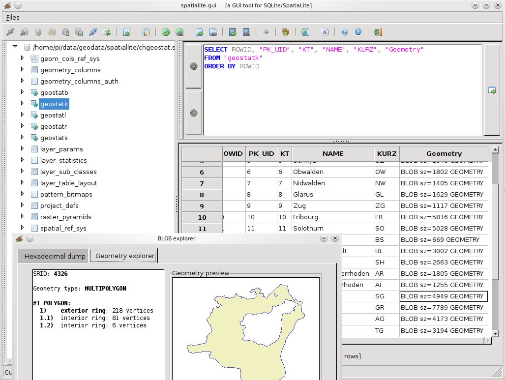
SpatiaLite
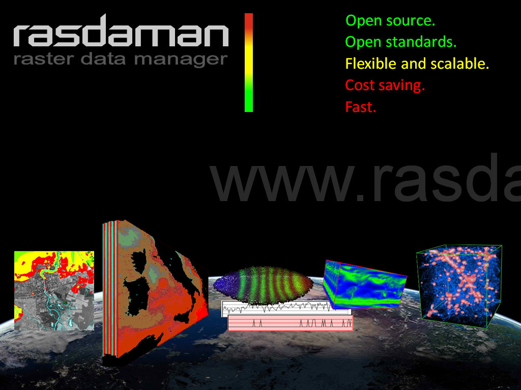
Rasdaman
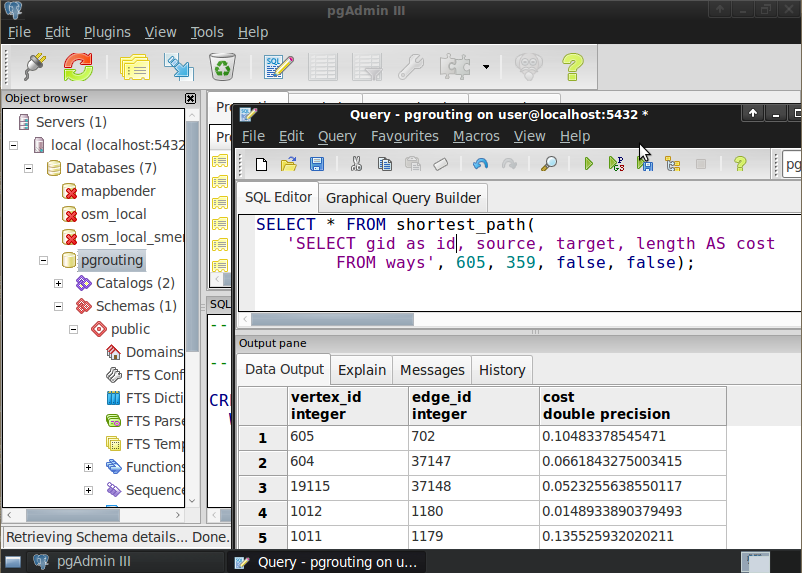
pgRouting
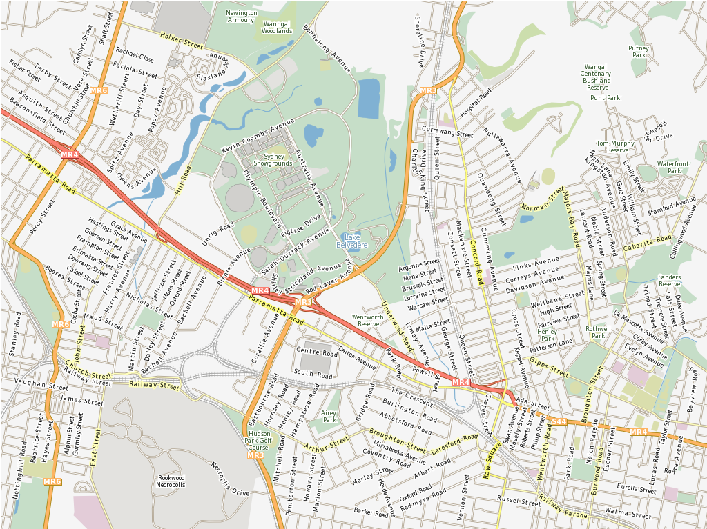
Navigation and Maps
GpsPrune Marble OpenStreetMap iD editor JOSM OpenCPN
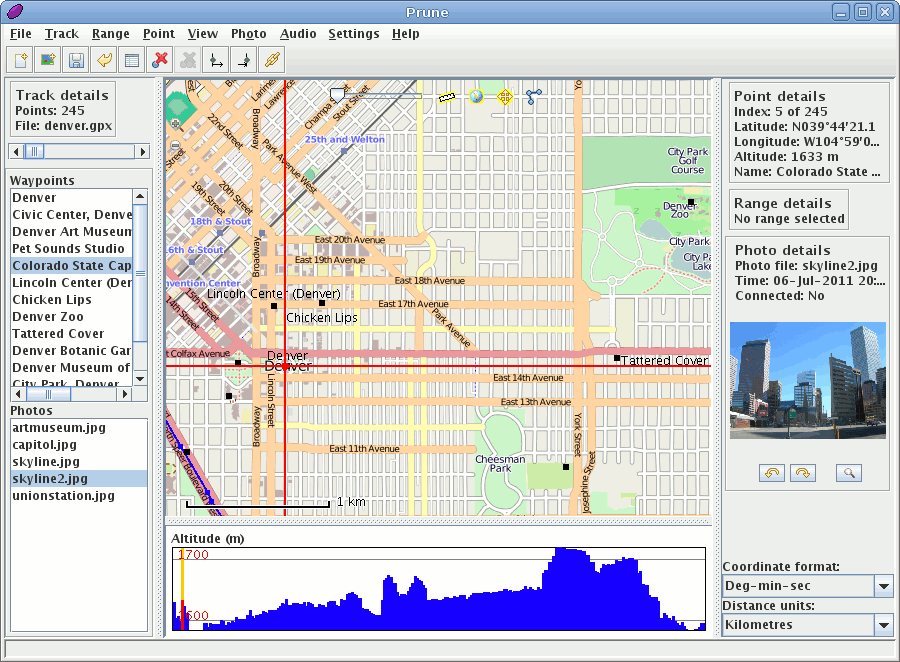
GpsPrune
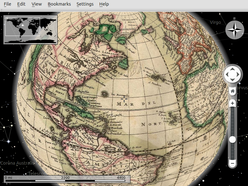
Marble
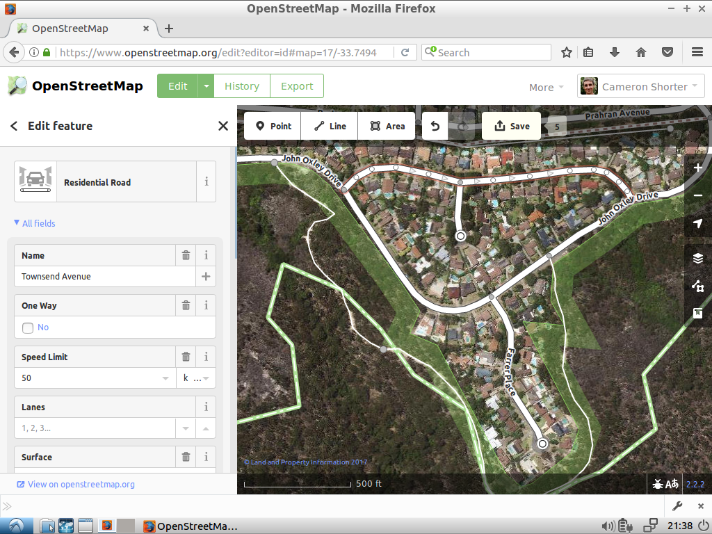
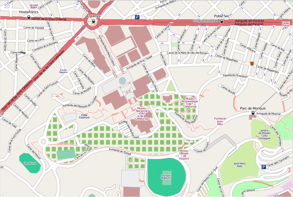
OpenStreetMap

iD editor
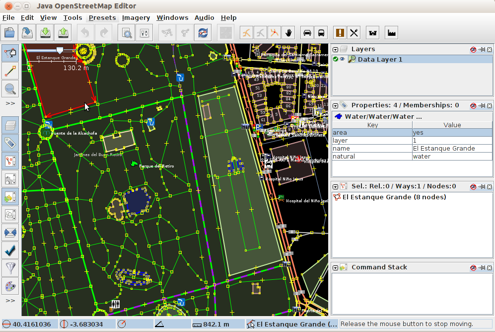
JOSM
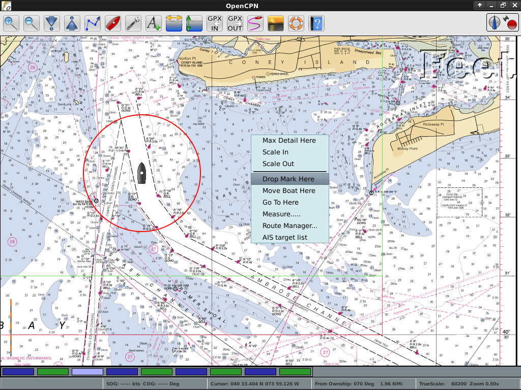
OpenCPN
Spatial Tools
GMT OTB R Mapnik MapSlicer
GMT
OTB

R

Mapnik
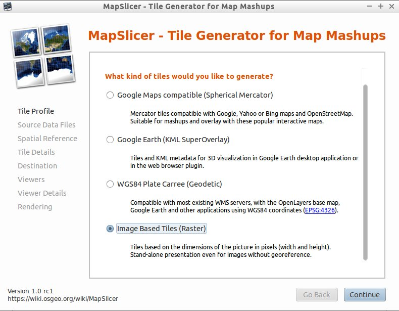
MapSlicer
Domain Specific GIS
zyGrib
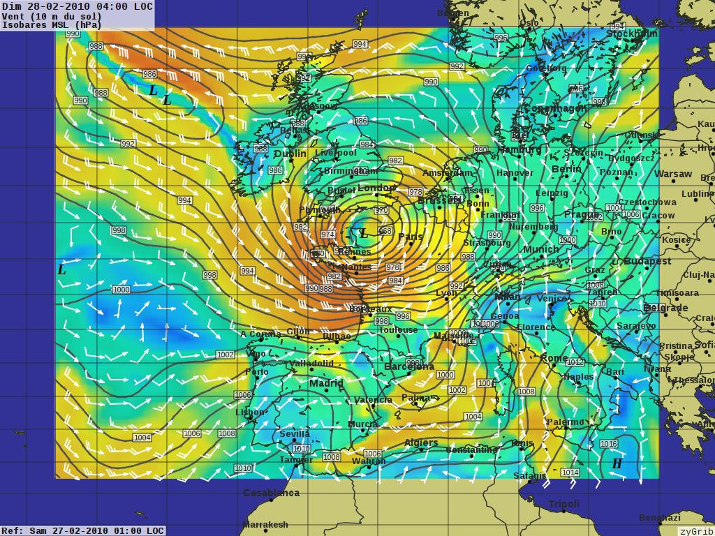
zyGrib
Data
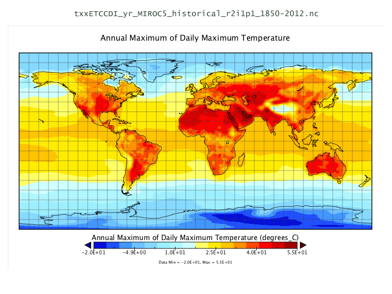
Natural Earth North Carolina USA Educational dataset OpenStreetMap NetCDF Data Set
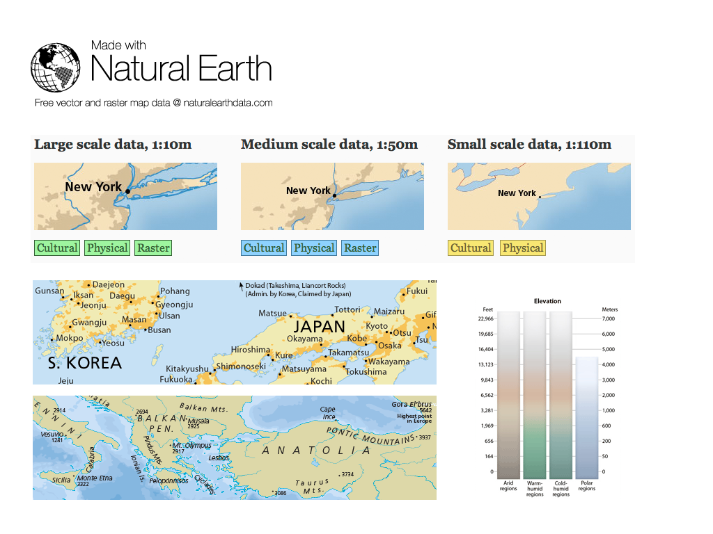
Natural Earth
North Carolina USA Educational dataset

OpenStreetMap
NetCDF Data Set
Geospatial Libraries
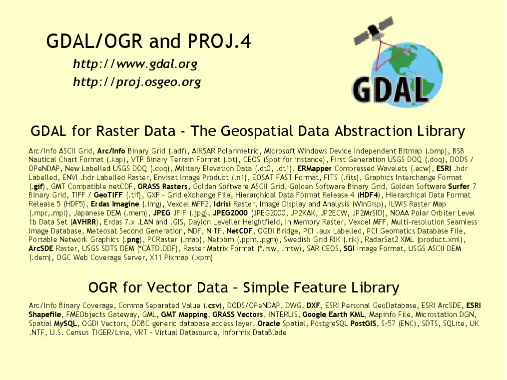
GDAL/OGR GeoTools GEOS Proj.4 libLAS JTS
GDAL/OGR
GeoTools
GEOS
Proj.4
libLAS
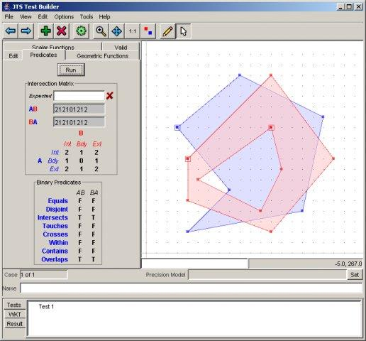
JTS
Credits
Project Steering Committee:
- Angelos Tzotsos (Chair)
- Brian M Hamlin
- Cameron Shorter
- Alex Mandel
- Johan Van de Wauw
- Bas Couwenberg
- Massimo De Stefano
- Astrid Emde
- Nicolas Roelandt
- Vicky Vergara
How can you get involved?
Become a member of our team
- Join our Mailing List and introduce yourself
- Take part in our weekly IRC meetings (channel
#osgeoliveon Freenode) - There are two ways you can help
- Help improve OSGeoLive website and documentation
- Submit new projects
Improving OSGeoLive Documentation
- Proof-read, test and correct Quickstarts and Overviews
- There is a good possibility to get to know cool software!
- Translate and improve the documentation
- Translation is made in Transifex
- Local Chapters can easily get involved here
- No technical experience necessary
Sponsors
| OSGeo | UCD ICE | NTUA |
|
||
| DebianGIS | okeanos | Georepublic |
 |
 |